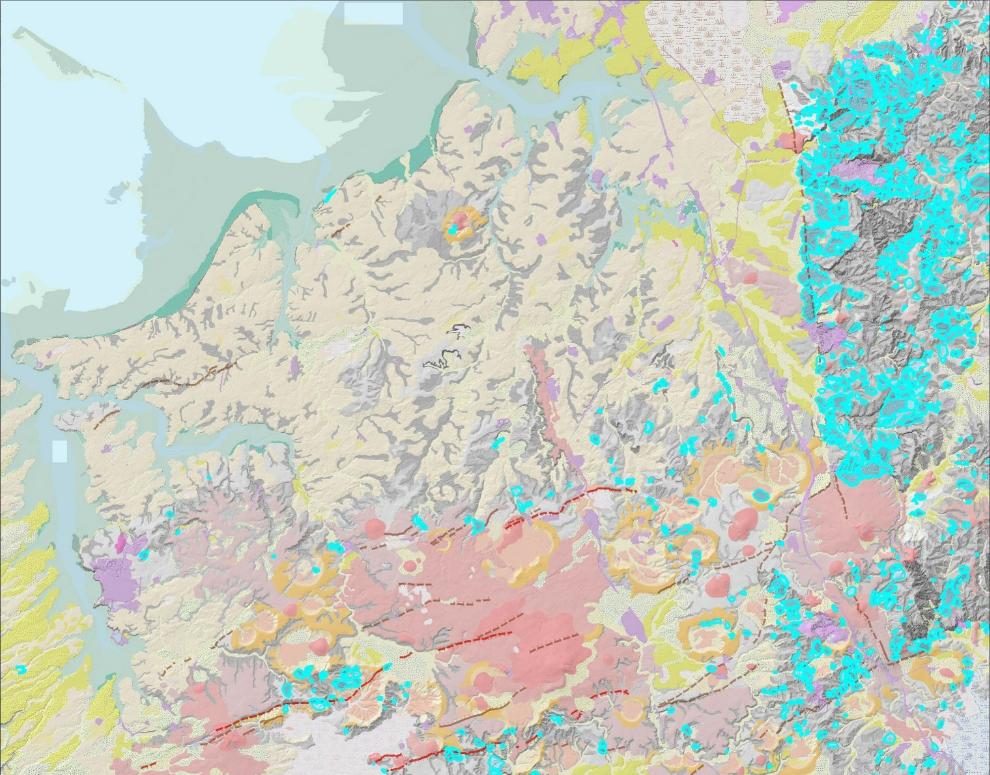
Three active fault lines have been newly discovered underneath south Auckland and 12 "possibly active" faults in the same area.
The active faults identified are the Pukekohe (Waiuku) Fault, the Paerata Fault and the Aka Aka Fault. While faults in this area are not new and scientists have guessed these fault lines existed, they couldn't prove it until now.
GNS Science has produced a detailed new geological map for part of south Auckland centred around the town of Pukekohe - the first of this area in nearly 30 years.
Capturing over 830 square kilometres, from Manukau Harbour's southern shoreline to the lower Waikato River, the mapping unveiled new details on faults, landslides, and extinct volcanoes in the area.
According to GNS Science, if a fault has moved at least once in the last 125,000 years, it is considered active and could possibly move again.
Although research into fault activity is ongoing, initial assessments suggested the three discovered faults have low levels of seismicity, GNS said.
However, that doesn't mean the dozen "possibly active" faults can't still be capable of generating earthquakes. These faults can, and have, contributed to major events, such as the 2016 magnitude 7.8 Kaikōura earthquake.

The project also provided more information about Pukekohe's volcanic history, finding previously unidentified eruptive centres within the south Auckland Volcanic Field. Several hundred more pre-historical landslides were also found during the study.
The project used LiDAR data, which provides detailed information on the height, shape and form of the land surface, was captured between 2013 and 2018 to map landslides in the area.

The geology map depicts around 800 areas of past, mainly prehistoric, landslide movement. The landslides were predominantly found in the foothills of the Hunua Ranges east of Drury, but several were also found in the downlands around Tuakau-Pokeno-Pukekohe.
"As this mapping has revealed more 'old' landslides, we now have a better understanding of the factors that contribute to landslides in the map area and therefore this knowledge can better inform future risk assessments," GNS said.
GNS said data will provide a context to help community decision-makers and local government make planning decisions about how to better manage the risks.


